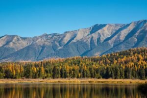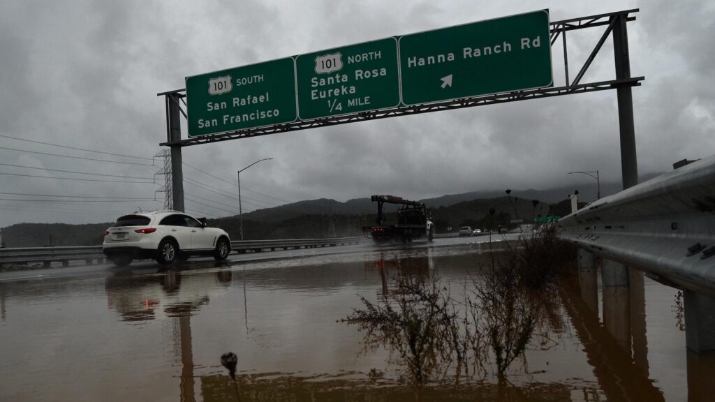
Between the view, the marshes, and the birds, Liat Meitzenheimer concedes the drive along California State Route 37 is scenic. Still, she avoids it for two reasons: congestion and flooding.
The highway, about half of which is two-lane, is often backed up with people commuting between affordable communities in Solano County to the east and jobs in pricier Sonoma and Marin counties to the west. It also is a regional link to Napa Valley and other destinations, much of it built on embankments, bridges, and causeways that span marshes precariously close to San Pablo Bay. That makes it prone to flooding, which has led to occasional closures.
“I don’t go that route whenever we have the potential of flooding, because I know how crazy it can get,” said Meitzenheimer, a retiree who lives in Vallejo, not far from the highway’s eastern terminus at Interstate 80.
These problems will worsen as the population grows and climate change brings more frequent and intense storms. Without adaptation measures, portions of the road are at risk of permanent inundation by 2050.
The state Department of Transportation and the regional Metropolitan Transportation Commission are pursuing a $500 million project that would, over five years, remake portions of the 21-mile highway. It would replace one of five bridges with one 5 feet taller, raise two one-mile sections by up to 8 inches, add a carpool and bus lane in each direction, and restore a tidal marsh and other ecosystems.
Not everyone thinks that goes far enough. Some want the highway moved several miles inland. Others favor a far more ambitious $10 billion project that would take at least 20 years. It would raise almost the entire roadway, add a lane for cyclists and pedestrians, and perhaps include railway tracks. To do anything less, advocates of this approach say, overlooks two pressing issues.
“Highway expansion does not solve congestion and will worsen climate change,” said Zack Deutsch-Gross, who leads TransForm CA, a sustainable transportation advocacy organization. “This project is pretty egregious,” because the highway, if left where it is, “in the long term will be underwater.”
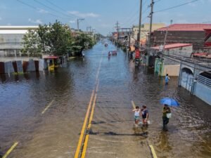
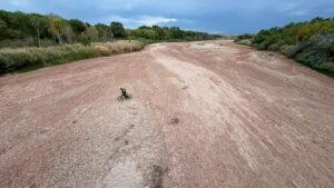
The challenges facing SR-37 are not unique. California’s iconic Highway 1, has been repeatedly closed due to floods, fires, and rockslides. Coastal cities like Miami Beach and Atlantic City are scrambling to harden infrastructure against rising seas and frequent inundation. Hurricanes routinely leave island and low-lying communities isolated by deluged causeways. Addressing these problems requires tremendous investment — bolstering bridges alone could cost $170 billion by 2050. Failing to do so could bring grave consequences. Without further adaptation, annual damage from coastal flooding worldwide could account for 2.9 percent of global gross domestic product by 2100. That’s up from 0.3 percent just 11 years ago.
California is among the states most aggressively planning for a warmer world. How it proceeds with SR-37 will show just how serious it is about adapting roadways to climate change.
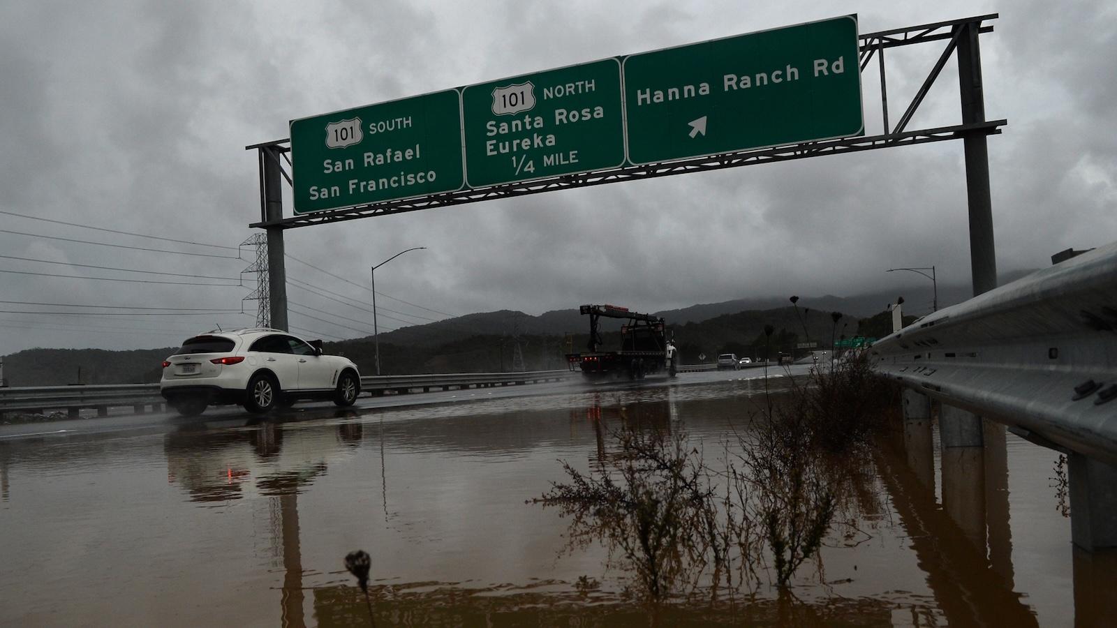
Alan Dep / Marin Independent Journal via Getty Images
Highway 37 began as Sears Point Tollway, which opened in 1928 to connect Marin and Solano counties north of San Francisco. California bought it 10 years later, and in the decades since has widened it as the road became an increasingly important commuter and freight route. The road is essentially a causeway and crosses an intricate system of wetlands, sloughs, rivers, and creeks at the northern end of San Pablo Bay. It also traverses a federally protected wildlife refuge, a state managed wildlife area, and an immense tidal marsh.
Transportation planners have considered widening, raising, or relocating portions of the road since the 1950s, but rarely proceeded due to the cost and environmental impact. That’s become less of a concern as repeated flooding and sea level rise — California could see an average increase of 10 inches by 2050 and 1.6 to 3.1 feet by 2100 — become more urgent problems.
Fraser Shilling, who leads the Road Ecology Center at the University of California, Davis, started researching SR-37 in 2010, which is about when Caltrans started considering sea level rise. His work presented a variety of ways to bolster it against that inevitability. “The least resilient was what they’re currently building, which is the highway on a berm,” he said. “The most resilient was to move the highway inland.”
A raised highway would still rest precariously on mud, Shilling said. He favors the strategic retreat of moving it as much as 5 miles inland. “There’s always been a problem that it goes through the marshes,” Shilling said. “You would never ever get permission to build that today.”
Barring that, he said, the state and region face irreconcilable choices. Without sufficient hardening, the highway could wash away. But too much could make the shoreline erode more quickly.
The Metropolitan Transportation Commission considered relocating the highway, but chose to focus on more feasible projects given the cost and time constraints, said agency spokesperson John Goodwin. “We would love to see the long-term projects completed sooner rather than later, but recognizing that [it] would take many billions of dollars, and probably 20 years, we’ve got needs that need to be satisfied,” he said.
The agency has secured $270 million to replace the Novato Creek Bridge in what Goodwin called the first part of the long-term project –– that would accommodate sea-level rise and storm surges on SR-37 until 2130. He said starting with quicker, relatively cheaper projects will also give the agency enough time to find the $10 billion needed for the long-term project.
Ricardo Arduengo / AFP via Getty Images
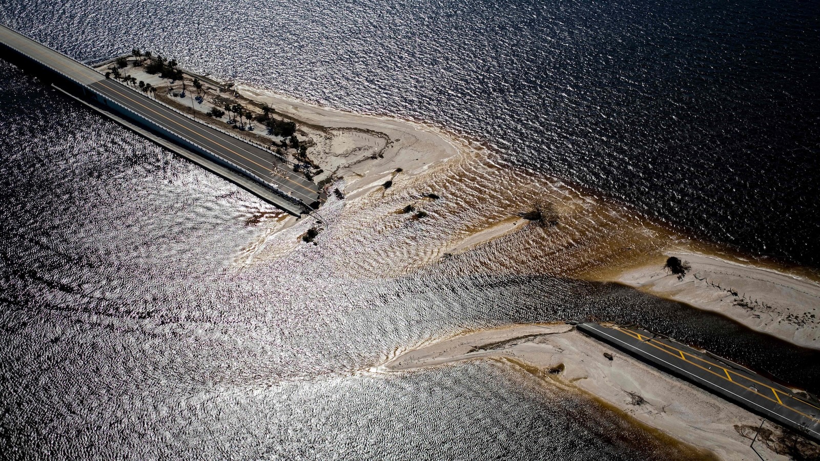
In 2022, Hurricane Ian flooded the 3-mile Sanibel Causeway, which connects that Florida island to the mainland. While the state managed to reopen it in 15 days, the experience has become a cautionary tale for other islands.
Jill Gambill, a researcher at Georgia Tech’s Institute for People and Technology, began developing an adaptation plan for Tybee Island in 2012 –– the first of its kind by a local government in the state. An 11-mile causeway connects it to the mainland near Savannah. Flooding closed it four times in 2024, leaving residents stranded for as long as five hours.
A hurricane has not made landfall in Georgia since 1979, but hurricanes Irma and Matthew brought the highest water levels since measurement began in 1935. “If we were to get hit by, even a category two or a category three storm here, where it’s a direct hit, that would be catastrophic,” Gambill said.
The state, which maintains Highway 80, repaved and raised it 8 inches in 2019. Elevating it more substantially could help reduce flooding but require widening the base, threatening important marsh habitat. It would also be expensive, and the state Department of Transportation, which did not respond to a request for comment, has yet to commit the funding.
Jo E. Sias, a civil engineer and professor who studies pavement design at the University of New Hampshire, said rising seas also bring hidden problems. As groundwater tables rise, they intersect with pavement below the surface, weakening the road and leading to faster deterioration, she said. The increased moisture in the soil caused by precipitation and sea level can weaken the road and potentially halve its lifetime.
There is growing interest in nature-based solutions. When the Sanibel Island Causeway disappeared, for example, segments near small, self-contained “pocket beaches” remained largely intact when others washed away. “Pocket beaches, beach nourishment projects, dune systems,” Sias said, listing possible solutions. “Anything that you can do to minimize the energy of the water as it’s coming across the roads is going to reduce the propensity for washout.”
Tybee Island recently added three rain gardens to bolster roads around Highway 80 through funding from the National Fish and Wildlife Foundation and the city. A future phase of the project would build living shorelines, which use bags of oyster shells, smooth cordgrass, and other vegetation to absorb energy from waves.
Jason Evans, the executive director at Stetson University’s Institute for Water and Environmental Resilience, sees an opportunity to strengthen both habitats and highways. Oyster reefs, for instance, benefit the ecosystem and grow vertically as seas rise, unlike seawalls.
Evans said flooding in low-lying southeastern communities is increasing as seas rise. That makes it essential to consider where roads lead and how they are used when developing mitigation plans. It makes little sense to raise a road by six feet if what’s at the other end hasn’t been prepared as well. “You might have an elevated road going out to a flooded island,” he said.
There are also questions of equity. Residents of coastal communities tend to be wealthier than those living inland. Using tax revenue to elevate a causeway or bridge “so the millionaires and billionaires can get to their beach house” denies funding to projects that could serve a wider swath of the community, Evans said.
Ethan Elkind, who leads the climate program at the University of California, Berkeley, School of Law, said the Golden State’s approach to transportation conflicts with its climate goals, though he concedes fixing SR-37 is complicated. Many of those who use it commute to rural jobs in wine country or in low-density suburbs. Greater job density would allow public transit to drop workers at fewer, more central locations, “as opposed to needing small-scale transit to help workers reach dispersed locations,” Elkind said.
Dense, affordable housing in Marin and Sonoma counties would help too by reducing the number of commuters. “Instead, those communities, for decades now, have really put up the gates to any new development,” Elkind said. He added that there’s still time to greenlight more housing development, shore up the roadway, and build a high-capacity bus lane.
As for plans to expand the highway, Hana Cregar, associate director of climate equity at the Greenlining Institute, said people are starting to see the downsides of adding lanes. A Transportation for America survey found that only 10 percent of respondents consider that the best solution to reducing traffic. It may help explain how the project is being pitched.
“The way that this highway expansion project is aiming to rebrand under a climate resilience lens is unique,” Cregar said, “because I think it’s aiming to hide the flaws in this project by painting it as solving a very real issue.”
This story was originally published by Grist with the headline How to build a highway in the age of climate change on Jul 9, 2026.