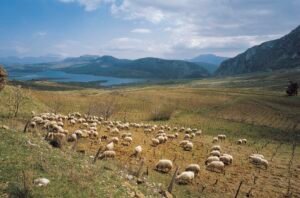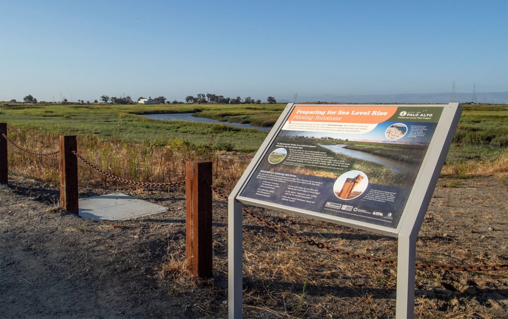
Visitors to the Palo Alto Baylands Nature Preserve, captivated by gliding birds overhead and golden hills across the Bay waters, could be forgiven for failing to notice that the preserve is also home to the Bay’s newest levee.
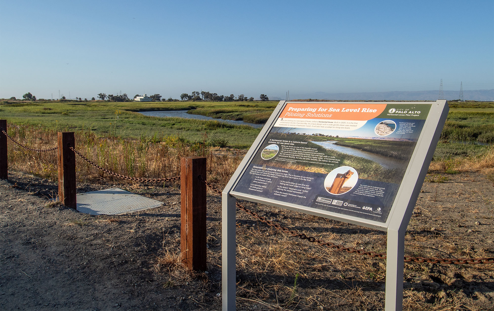
Most levees look like steep, barren embankments or riprap-clad seawalls, designed to prevent flooding by adding extra feet of height. But this project, though it shares a name, is a different type of infrastructure altogether. Seeded with over 35 species of native plants, the site is a pilot for what’s known as a horizontal levee, or living levee, blending into the estuary’s natural scenery as it spreads its feet of added height over a longer area.
In stark contrast to a traditional levee, the Palo Alto Horizontal Levee Pilot Project’s natural appearance and gradual slope are designed to interact with Bay waters the same way natural estuaries do.
“When you look at levees that are along the bay front, a lot of times they’ve got really steep faces and big, huge rocks in front of them to protect them from wind waves,” explained Mark Lindley, lead engineer on the Palo Alto living levee. “By having this flat, gradual slope with really dense vegetation on it instead of having rock, the waves break on that slope like they do on a beach.”
The project is part of a growing trend in California’s Bay Area of using this type of green infrastructure to provide both flood mitigation and habitat restoration. Completed in 2017, the Oro Loma Horizontal Levee near Hayward, California was the first of its kind and informed the design of the Palo Alto project, and others. There are around a dozen in various stages of design and development around the Bay.
But the Palo Alto pilot project is the first to be hydrologically connected to the Bay. Beneath the plants, soil, and gravel layers, plumbing connects the slope of the horizontal levee to the Palo Alto Wastewater Treatment Center across the street, allowing treated wastewater to irrigate the levee’s plants. As it does, the plants remove nitrogen from the water before it then filters into the Bay. Nitrogen, which can lead to harmful algal blooms in excess, is generally high in wastewater — though, the water from the facility currently meets regulations to be released into the Bay, said Samantha Engelage, lead engineer for the City of Palo Alto. The added treatment is purely a bonus for water quality.
By mimicking the natural world, the horizontal levee also provides the conditions native species need to thrive. One beloved Bay Area resident that may benefit from the approach is the salt-marsh harvest mouse, affectionately known as “salties.” The cinnamon-colored rodents, which fit in the palm of a hand, climb vegetation to escape rising tides each day. But due to encroaching development, they’ve been listed as endangered for decades — and their niche habitat also makes them vulnerable to the changing climate. “All you need is a couple of really, really bad storm and tide events to knock out a [local] population,” said Katie Smith, a wildlife biologist and saltie expert.
By design, the horizontal levee will restore the vegetation and habitat that salties and other estuary wildlife rely on. According to Smith, the plan for the levee appears to create the “optimal potential option for salt-marsh harvest mice.”
Stretching just 500 feet along the shore, the pilot project restores only a small portion of salties’ habitat — and it does not provide the full flood control needed at the Baylands. But it will provide something else: data. Over the next five years, researchers from the United States Geological Survey, universities, and local nonprofits will monitor qualitative benefits, such as recreational use, and quantitative benefits, like impacts on biodiversity and water quality. The results could help justify the higher costs often associated with green infrastructure projects like the horizontal levee, explained Engelage.
The project has been almost a decade in the making. And although the levee is now visible to observant visitors at Baylands Nature Preserve, it is not fully operational yet. According to Engelage, delays in the project have sprouted from complexities in connecting the plumbing from the wastewater treatment plant to the levee.
But its gentle slope is already acting as a flood break. And it is clear that for Bay Area residents big and small, the additional protection of this levee and others like it could not come too soon. In the Bay Area alone, sea level is projected to rise 3 to 6 feet by 2100. More imminently, the forecasted El Niño weather system could bring the Bay 6 inches of temporary sea level rise — a taste of what future decades may hold.
“Twenty years from now, what we see at king tides is just going to be a normal high tide,” said Lindley, referring to the highest tides of the year. “Those areas that we’re seeing flooded at king tide, they’ll be flooded every day.”
This story was originally published by Grist with the headline A new type of levee is taking root in Northern California on Aug 11, 2026.